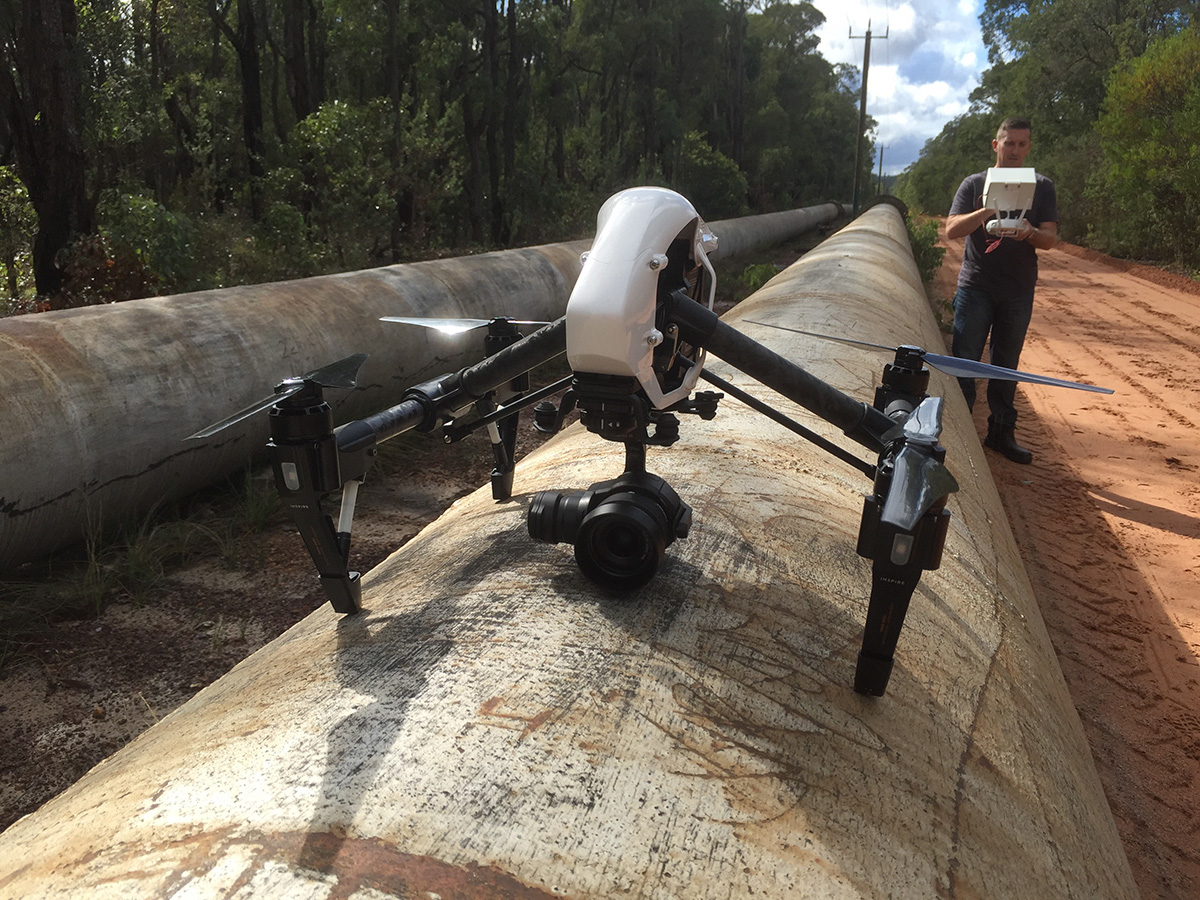
High-tech drones are now the most cost effective and time efficient way to survey water pipeline and other linear architecture.
Perth Drone Services are available to tender for UAV services to survey pipelines across Western Australia.
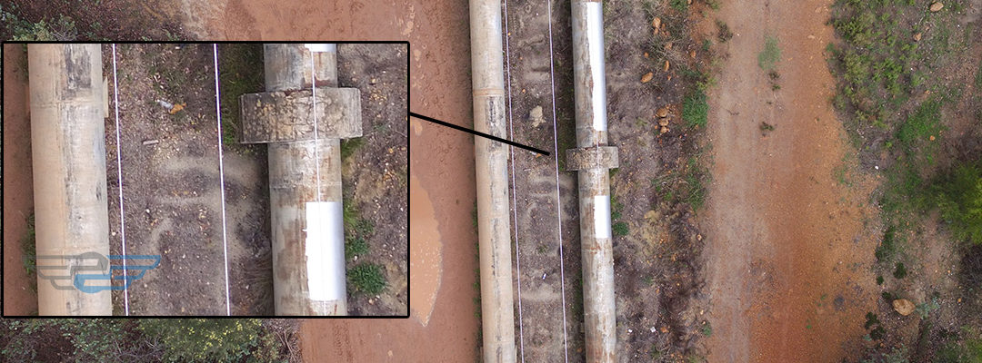
Gone are the days where people are riding bicycles alongside thousands of miles of pipelines to document damage, graffiti and rust spots.
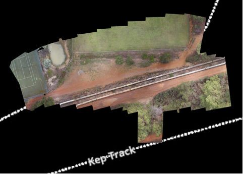
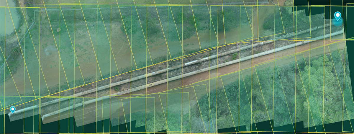
Perth Drone Services can get as close as 20m above the pipeline, document every square inch, at 4k resolution, and stitch the images together into orthomosaic imagery, allowing instant upload and compatibility with your inhouse ArcGIS or similar mapping system.


